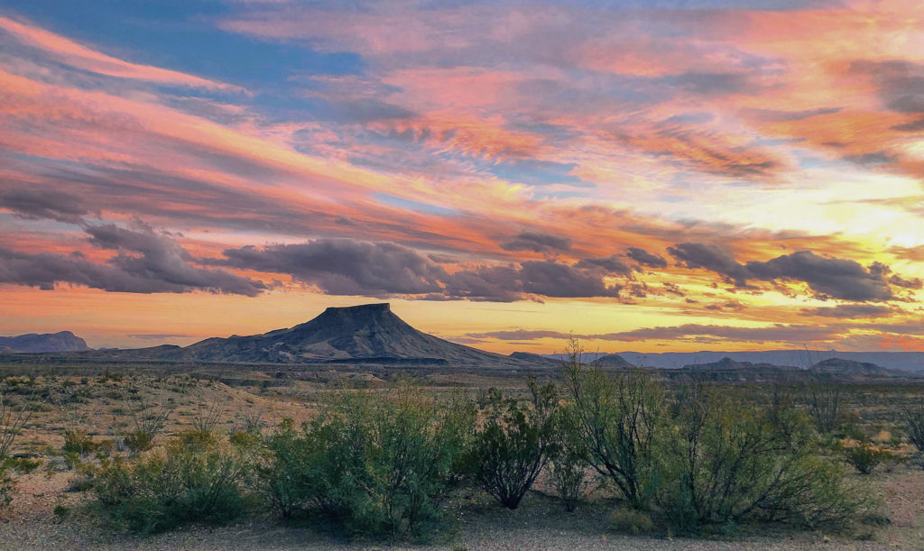
I visited West Texas and the Big Bend area for the first time in February 2014 with my husband and our best friends. I immediately fell in love with how remote and beautiful the landscape of the area is. I’ve been back several times since. I even designed a West Texas sticker and Big Bend National Park sticker because I love the area so much!
Big Bend National Park isn’t the easiest park to access. My annual drive to the park from Austin is about 7 hours but it’s worth it to me. The park is located on the Texas border. It’s very remote, with little resources, stores, or cities in the area. It’s important to come prepared with enough food, water, and car safety items. The Rio Grande River is the border of the park where you can even toss a rock over to Mexico.

The park is known for their three distinct terrains in the park: the Chisos Mountains, the Rio Grande River, and the desert. To properly experience the park, I recommend hiking a trail in each terrain to see the differences.
Throughout my visits to Big Bend National Park, I’ve been able to do many hikes in the park. My hiking level is average. I usually stick to easy to moderate day hike trails to be able to fit a couple hikes in one day. I wanted to share my 5 favorite hikes in Big Bend National Park to help you plan your visit!

Upper Burro Mesa Pour-Off Trail
Desert
3.8 miles roundtrip • Moderate level
This was the very first trail I did at Big Bend National Park so I may be a bit biased. Check the forecast for flash floods before you start!
This moderate level trail has you descend among the tall desert plants, walk through a dry river bed, and in between canyons. We even once saw a herd of aoudad at the top of the canyon looking down at us as we passed through! I recommend wearing a hat for this trail to protect yourself from this mostly unshaded trail.

Hot Springs Historic Trail
River
1.8 miles roundtrip • Easy level
This trail takes you to a small hot spring so bring a swimsuit if you plan on getting in! To access this trail, your vehicle has to drive on an unpaved road. I’ve taken my Honda Civic on it before so it’s accessible by smaller vehicles if you’re careful.
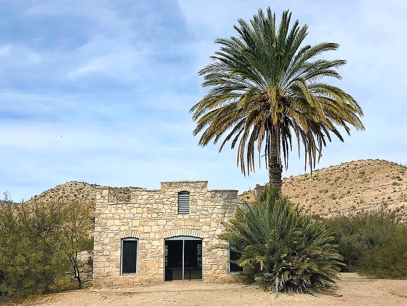
This easy level trail feels more like a walk than a hike. At the beginning of the trail, you’ll see historical buildings and learn about how people lived in this remote area back in the day. The hot spring itself is small and usually full of people so I recommend arriving early if you plan on getting in. It’s a neat experience to sit in a hot spring right next to the Rio Grande River!

Lost Mine Trail
Mountains
4.8 miles roundtrip • Moderate level
This moderate level trail is one of the tougher trails I’ve done at the park, but totally doable. Be vigilant that there is a small group of black bears that live in the park, but I haven’t seen them. This trail has you ascend to the top of a mountain with some switchbacks towards the end. When you get to the top, you’re rewarded with an excellent view of the other Chisos Mountains peaks.
I recommend doing this hike first thing in the morning because of the limited parking available. It also gives you the opportunity to have a small breakfast, snack, or early lunch when you get to the top so you can take the time to enjoy the view during your meal.

Window Trail
Mountains
5.6 miles roundtrip • Moderate level
This moderate level trail is another tough trail in the Chisos Mountains. I did this hike with a group of about 8 friends with varying hiking experience. It’s tough because you descend all the way to the Window pour-off point to get a panoramic view of the desert, and then have to make the ascent back to the trailhead.
The Window is one of the iconic images of the park because it gives you a view of the mountains framing the desert. If you don’t feel like making the hike or you don’t have enough time, walk the short Window View Trail (0.3 mile roundtrip) to see the sight!
The parking lot to access this hike is busy because this is where the only lodging is available in the whole park. A small store and picnic tables are here, as well as access points to other trailheads.

Santa Elena Canyon Trail
River
1.7 miles roundtrip • Easy level
I saved this trail for last because it’s usually recommended by most people, but for a reason. It’s one of the iconic images of the park because it gives you a great view of the Rio Grande River running between the two towering canyons of Mexico and the United States. You can get this view from a short walk from the parking lot or continue to walk along the canyon.

Hit the Trails
I hope these 5 recommended trails for Big Bend National Park help you plan your trip. If it’s your first time visiting the park or you’ve only got 2 days, I think these easy and moderate trails will help you experience the different areas of what the park has to offer. I plan on writing another blog post about tips for visiting the park and more trails to hike if you’ve got more time in the park.
Let me know if you’ve visited any of these trails!


